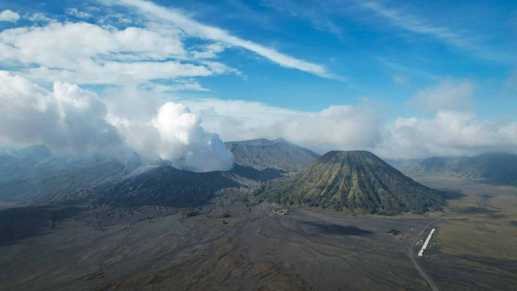
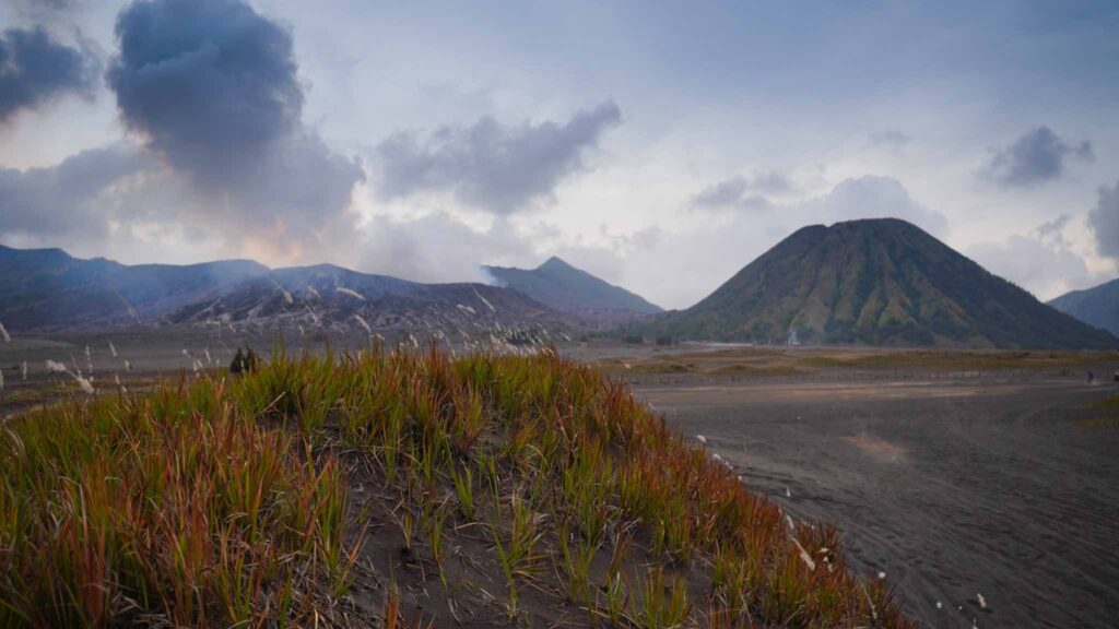
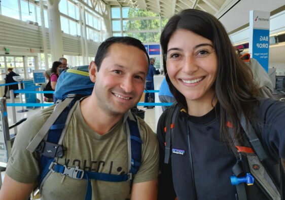
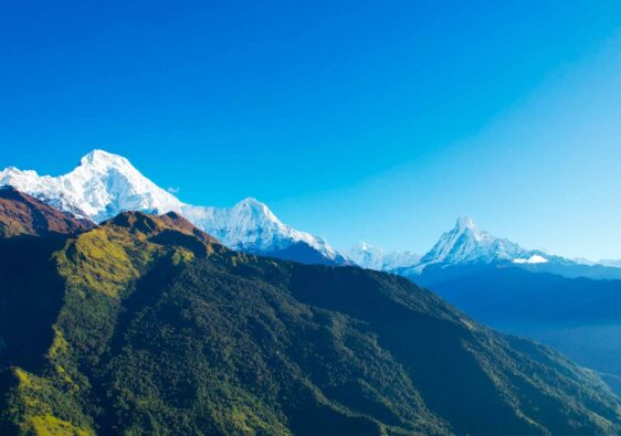
We emptied our pack and refilled it with items only necessary for the short hike up to the Bromo caldera. Two down jackets, rain jackets and pants, gloves, beanies, two litres of water, first aid kit, masks, pack covers and the camera equipment. We were staying at a hotel in Cemoro Lawang which is a small village located on the cusp of this enormous crater. Mount Bromo is a somma volcano, meaning that a new cone has developed within the original crater and the landscape is a striking example of earth’s diversity, ferocity and resilience. The Tengger caldera, within which Bromo is located, stretches 16km across and from the crater’s edge you can see Mt Bromo(7641ft), Mt Blatok (8104) and Mt Semeru (12060ft) towering above them a few miles away.
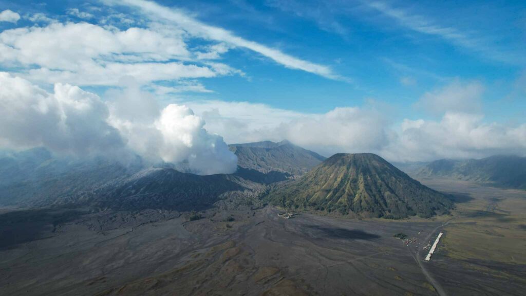
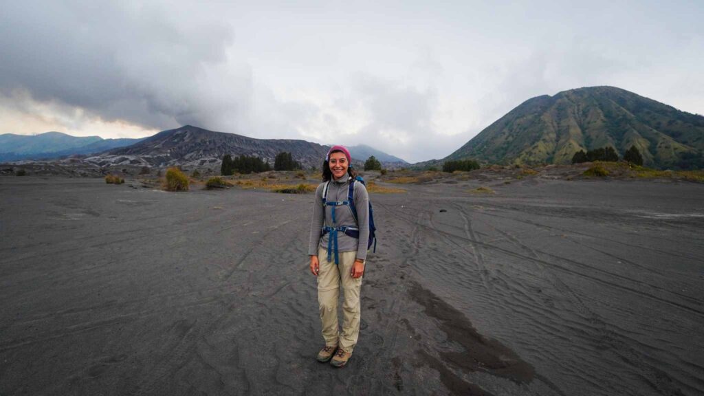
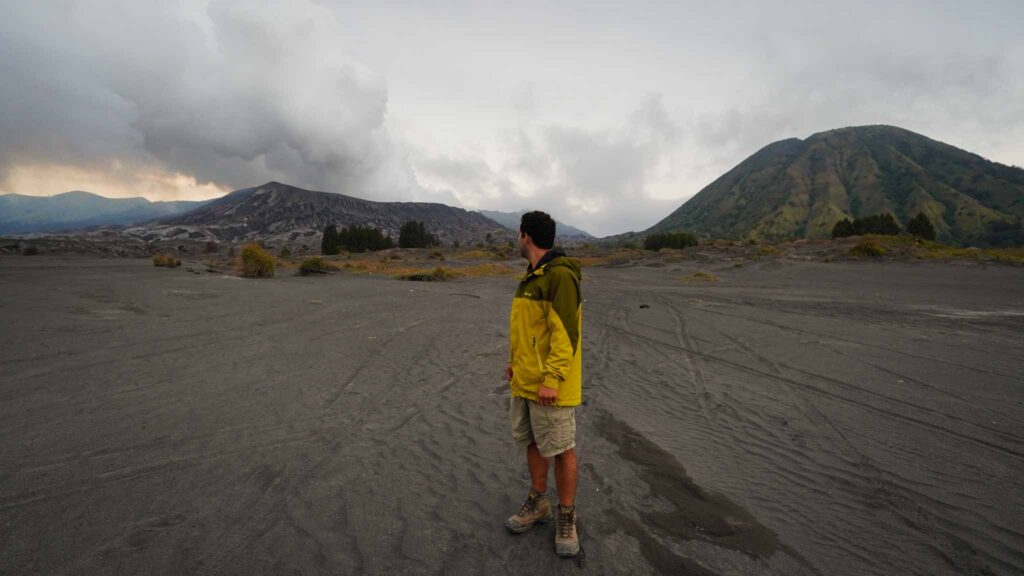
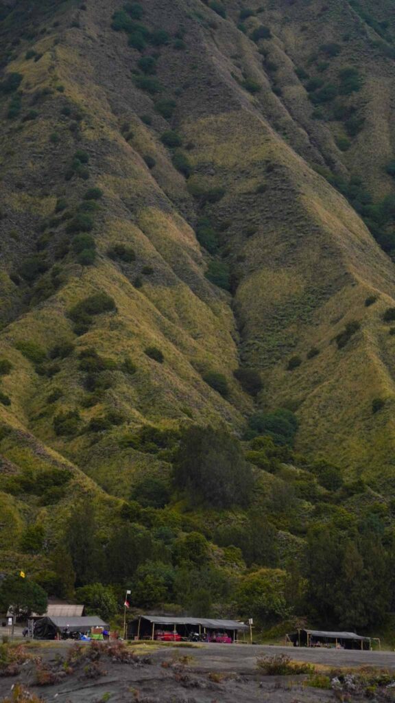
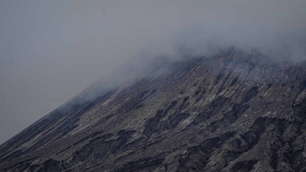
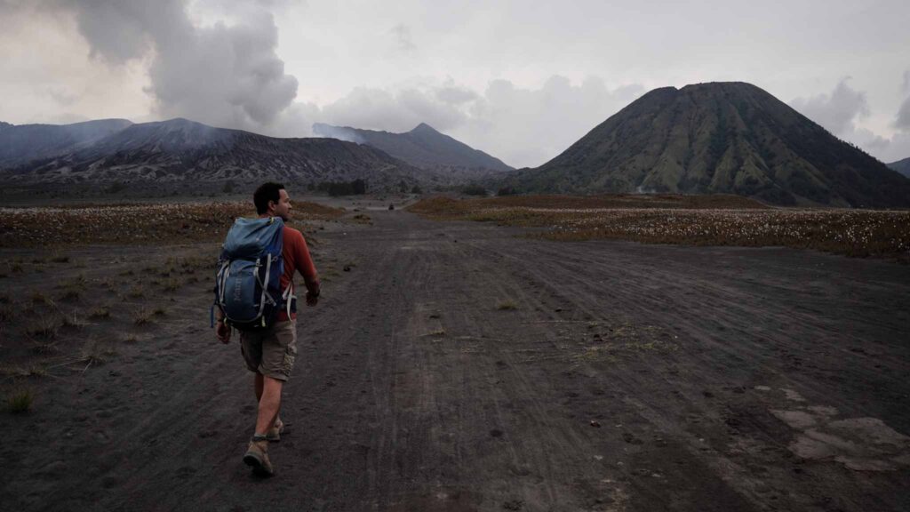
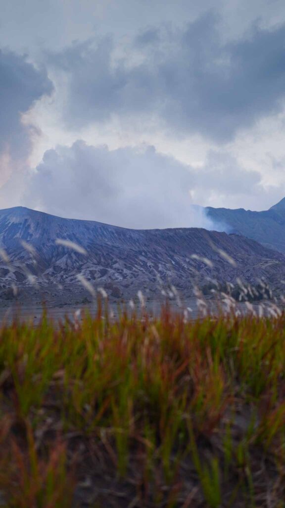
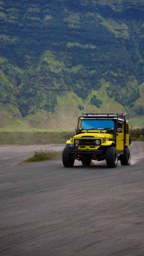
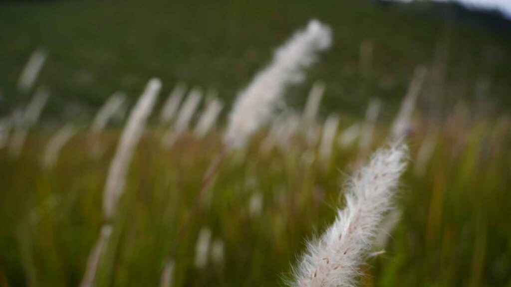
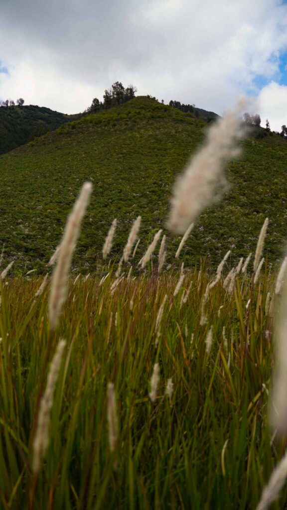
We descended a segment of steep road before taking our first few steps in the black volcanic sand. This landscape is immense, the crater walls rise rapidly around you and are mystical with their jungle covered hillsides steeped in cloud and mist. Already from a distance of about a mile you catch whiffs of sulfur and the sky is filled with ominous clouds whose outer edges, tinted with brown, are the only indication of their potency and differentiate them from the other clouds filling the sky. Nothing grows in this section but some small grasses, similar to coastal grasses that might be found on a bank near the ocean. This area has been called the, “Sea of Sand” by the locals and it does, like the ocean, captivate your attention.
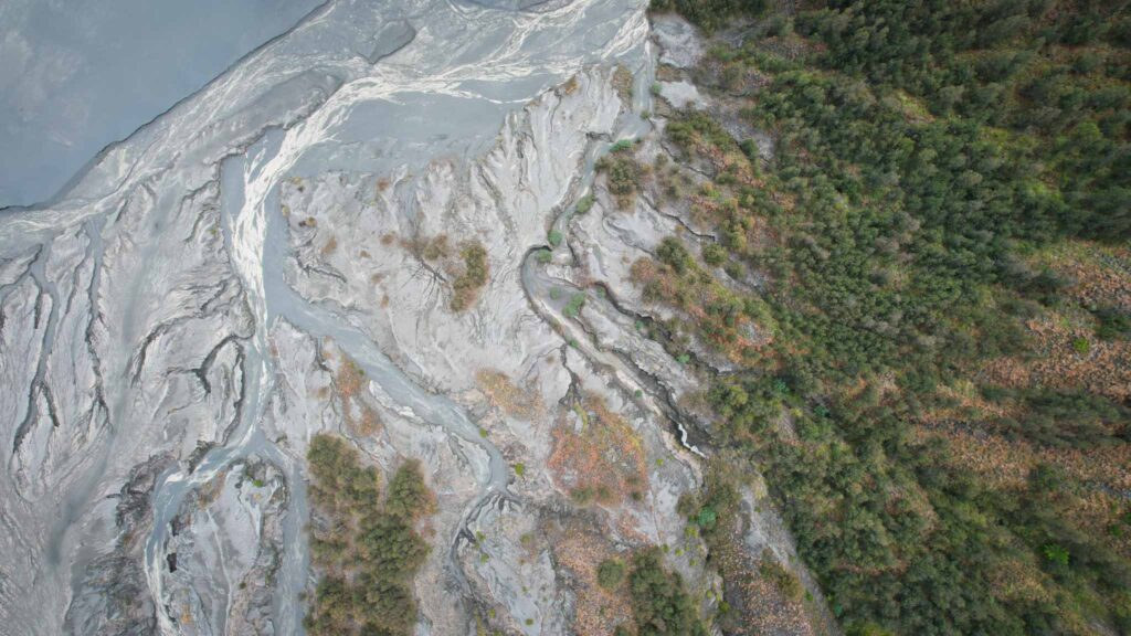
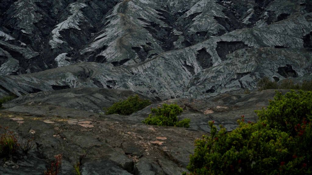
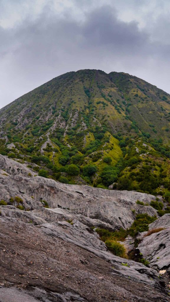
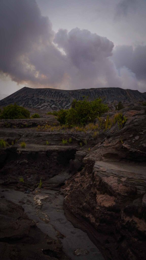
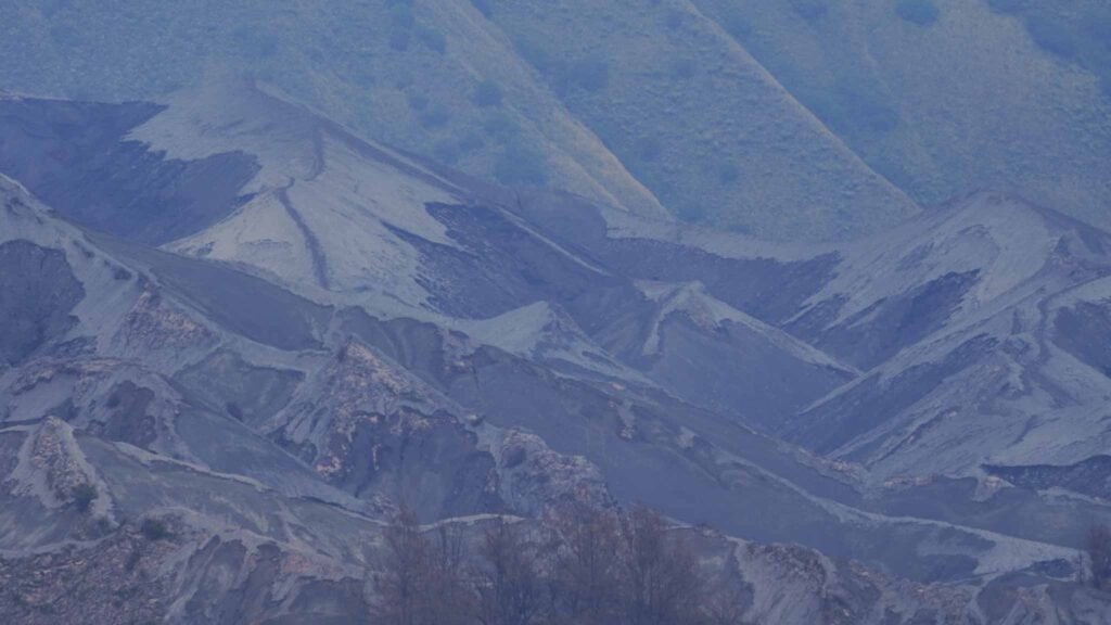
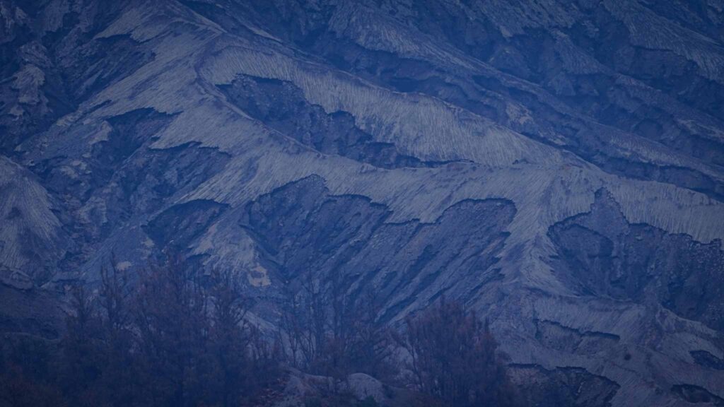
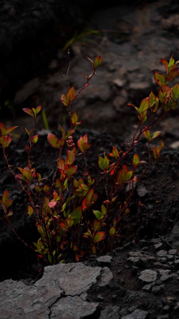
The terrain feels alien and unfamiliar, the distant crater walls, the sea of black sand, sulfur clouds rising high above Bromo and the perfectly symmetrical Mt Blatok beside it all combine to create an unparalleled experience. As we got closer to the crater we began navigating the section of the most recent lava flow. This was my favorite part of the hike and was heightened by the growing excitement of seeing this active volcano up close. Erosion by the frequent torrential downpours had shaped this area like fingers through clay. We climbed up and down miniature dry rivers observing the gray and black rock and sand. Wind and rain had shaped this top layer of black soil into various shapes and patterns so intricate that I caught myself treading carefully so as not to mar this beautiful landscape. Occasionally there would be an inclusion of exposed reddish clay but other than that the only color to be seen was the plant life beginning the slow process of securing the new soil.
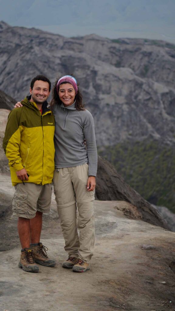
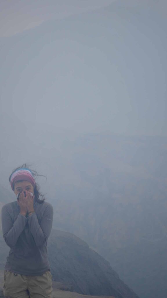
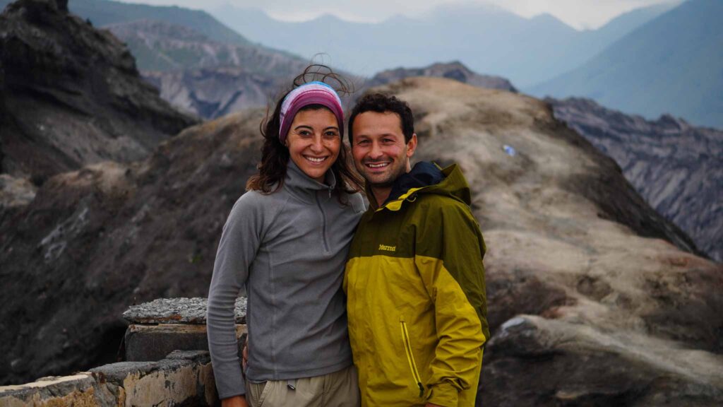
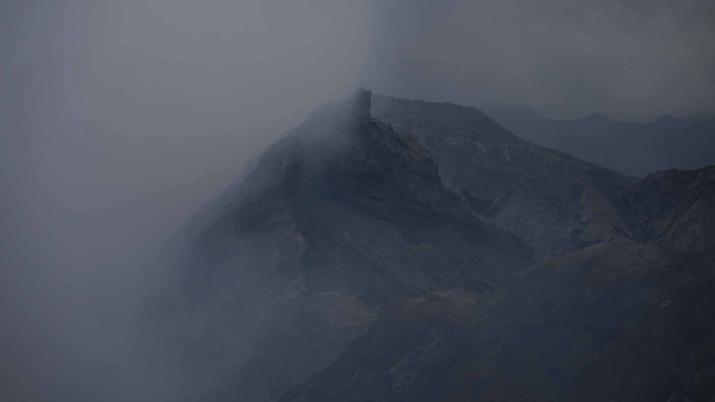
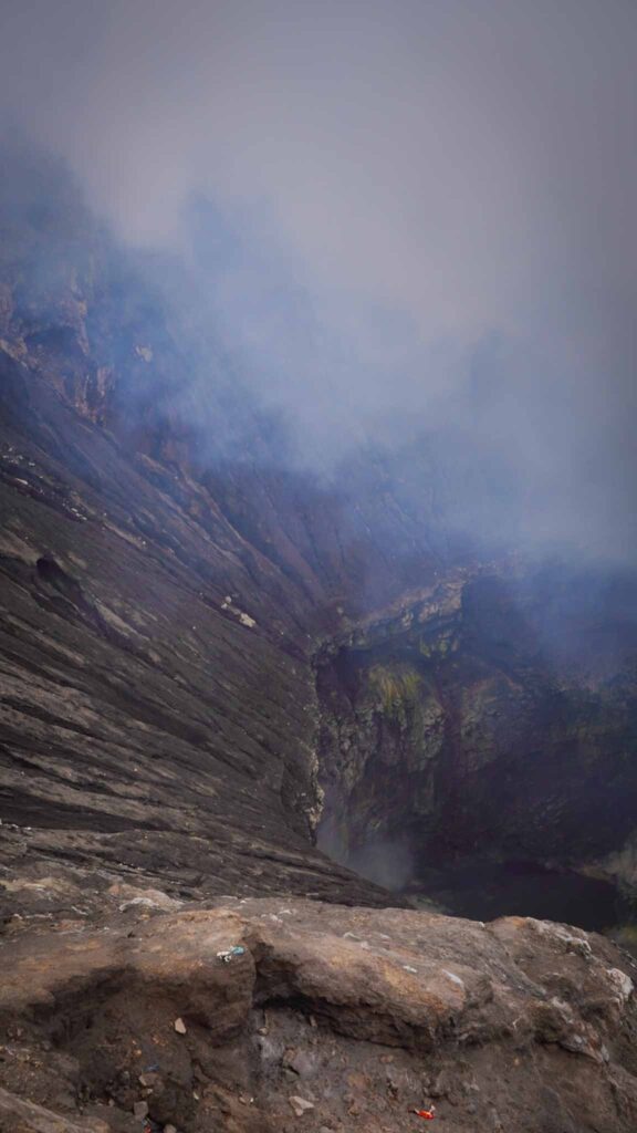
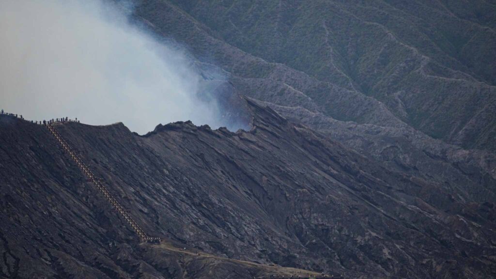
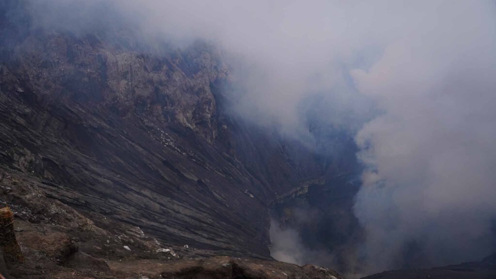
The final approach to the crater rim was made easier by a concrete staircase and within a few minutes we were staring down into the mouth of this massive volcano. The clouds of sulfur billowed out of multiple fumaroles with a sound that resembled a jet engine or a large waterfall. The steep walls of the crater fell at an angle of around 45 degrees until they reached an almost perfectly circular hole but the view was shrouded in cloud. The flat walls of this hole were sporadically covered in patches of yellow and for a brief moment when the winds cleared out the clouds we caught a glimpse of the emerald green and yellow sulfur lake. We didn’t stay too long as the winds would shift engulfing us in massive clouds of sulfur. We had basic masks with us but the sting in our eyes and throats was enough to thank the mountain for our visit and head on back down the stairs.
Indonesia has some incredible natural landscapes. The combination of tectonic activity and equatorial rains have created a landscape that frequently leaves you in amazement. I had seen pictures of Bromo and read accounts but there’s nothing quite like standing there on the cusp of that crater with your own two feet.
